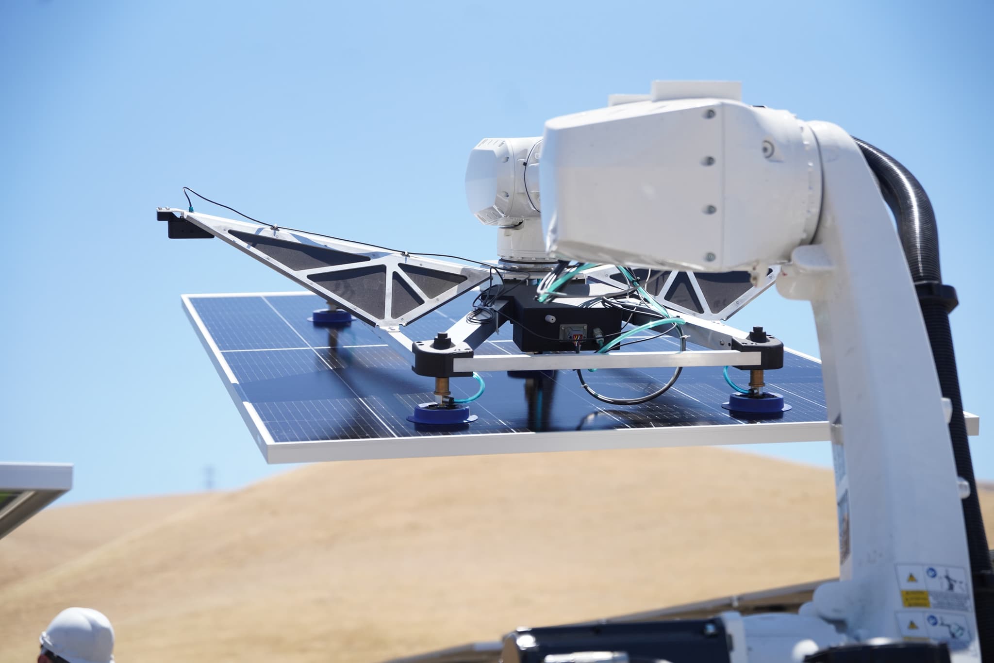
A geospatial product is difficult to explain with interface footage alone: the viewer needs to understand the terrain, sensor, route, data product, and decision it enables. This field guide helps a technical team turn one approved capability into a filmable sequence without overstating autonomy or hiding the operating conditions. WERZ applies its documented robotics, field, and Part 107 production experience to the production plan; each company's technical and regulatory requirements remain project-specific.
Start with one observable capability
Write the claim as something a skeptical viewer can see: the system maps a defined area, detects a named condition, follows an approved route, or turns captured data into a specific operator decision. Record the prerequisites, operator inputs, accuracy limits, and environmental constraints beside the claim. That prevents the edit from implying a level of autonomy the demonstration did not establish.
Connect place, platform, and data
Plan a visual chain from the physical environment to the vehicle or sensor, then to the captured data and final output. Establishing aerials and ground context show scale; close coverage explains the payload and operator actions; screen capture shows what the system actually produces. Every interface shot should correspond to the same approved mission shown in the field.
- Environment
- Platform
- Mission
- Output
Build the flight and site plan first
The client identifies property access, airspace, privacy, safety, and operating permissions for its system. Commercial drone capture also requires a Part 107 pilot and a separate review of airspace, weather, people, vehicles, and launch areas. Do not assume that permission to operate the product also authorizes the production drone or every planned camera position.
Capture continuity between field and interface
Synchronize camera time, mission time, and screen recordings so the editor can connect a physical event to the correct data view. Capture clean UI at native resolution, disable unrelated notifications, and preserve an approved reference export. If live connectivity is unreliable, agree in advance whether a recorded playback is allowed and label it accurately in the story plan.
Protect sensitive spatial information
Review coordinates, map layers, customer names, infrastructure details, device identifiers, bystanders, neighboring properties, and background screens before release. Use an approved map extent and disclosure matrix rather than relying on last-minute blurring. The client decides which location, customer, export-control, and privacy rules apply and names the final release owner.
Edit for technical trust and multiple channels
Keep an uninterrupted view of the core task when continuity is part of the proof. Use cutaways to clarify the sensor, environment, and operator—not to conceal resets or interventions. From the same verified sequence, plan a launch film, full demonstration, website loop, investor-deck clip, recruiting cut, and short social edits with captions and channel-safe crops.